Air pollution is the fifth biggest global mortality risk, causing five million early deaths every year.
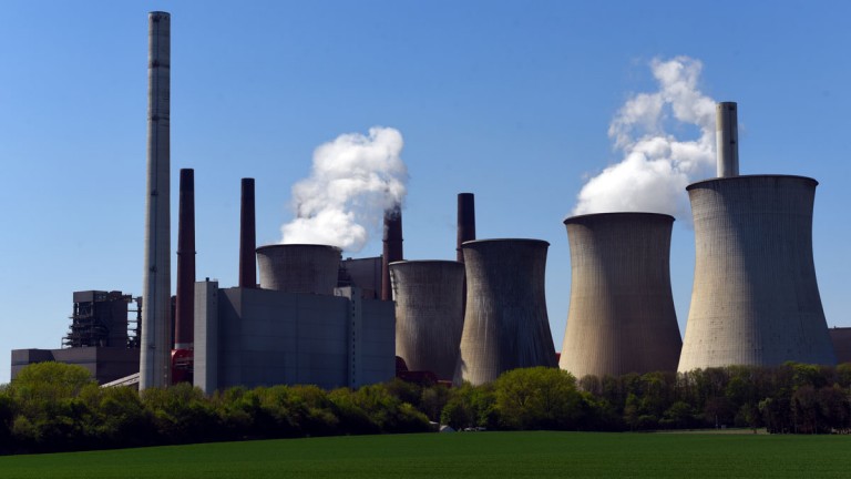
The news: Artificial-intelligence nonprofit WattTime plans to use satellite imagery to monitor the air pollution and carbon emissions generated by each power plant around the world, in real time, and it will make this data public, Vox reports.
How? It will take data from a variety of satellites, including data from thermal infrared cameras that detect heat. These images will then be processed by various algorithms for signs of emissions. By checking visible smoke, heat, and nitrous dioxide, WattTime hopes it will be able to deduce precise, real-time emissions for each individual power plant.
The potential impact: The hope is that tracking the problem more accurately will take us one step closer to tackling it. Making this data available to the public could help to pile on the pressure. That said, we’ve already got a good idea of the scale of the climate emergency we’re facing. More data doesn’t necessarily guarantee action.
This story first appeared in our daily newsletter, The Download. Sign up here to get your dose of the latest must-read news from the world of emerging tech.