Intelligent Machines
Annotating the Earth
Google Earth goes deeper.
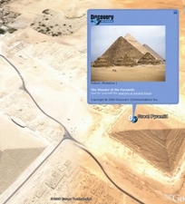
Finding information linked to geographical locations became far easier last year with the launch of Google Earth, a collection of zoomable aerial and satellite photos carpeting a 3-D model of the earth. Now, deeper layers of information are becoming accessible. With the click of a mouse, icons linking to masses of information provided by organizations such as the United Nations, the U.S. National Park Service, National Geographic, and the Discovery Channel appear atop the Google Earth landscape. Depictions of buildings, national boundaries, and road networks have long been part of Google Earth. But the new service is Google’s first official attempt to build what might be described as a geographically indexed world encyclopedia.
Advertisement