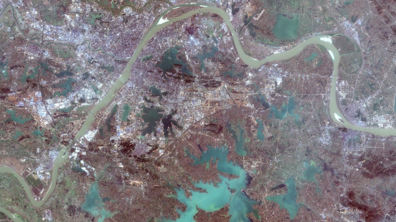
An overview of Wuhan taken on January 30, 2019, by the Copernicus Sentinel-2 satellite.
Copernicus Sentinel, January 30, 2019

On January 22, China took the extraordinary step of shutting down all transportation in the city of Wuhan, where the coronavirus outbreak first began. The measure effectively put 11 million people under quarantine, which is still ongoing as public health officials work to treat individuals who have fallen ill and stop the spread of the virus.
As satellite images shared with MIT Technology Review by Planet Labs and Maxar Technologies show, the metropolis has ground to a halt. Bridges and roads are empty. The city’s train stations are deserted. Wuhan’s normally busy airport has completely ceased operations.
The effect on air travel has been felt throughout the country—especially for international flights, which have dropped precipitously in the last month. On February 2, for example, the country saw a cancellation of 222 departures (16.7%) and 238 arrivals (18.2%), according to according to the airline tracking service FlightAware.
But there has been a burst of activity in Wuhan in at least one aspect: construction. Two new hospitals came together in the city almost overnight to manage and treat sick people (so far there have been more than 28,300 reported cases and 565 deaths, and counting).
